The 225-year-long search for answers on Oak Island has been revitalized this week by a series of discoveries that bridge the gap between ancient stone carvings and high-tech archaeological excavation. From a mysterious “face in the stone” on the mainland to a groundbreaking reinterpretation of the famous Zena Halpern map, the “Fellowship of the Dig” is narrowing in on what could be the definitive blueprints of a massive treasure deposit.
The Face Out to Sea The week began 144 miles west of the island, where researcher Terry Deveau led Rick Lagina and Charles Barkhouse to a secluded location to view a previously undocumented petroglyph. The stone, which appears to have been deliberately “shimmed” into position with smaller rocks, features a distinct human profile facing the Atlantic.
Archaeological observation revealed that the facial features were “worked” or hacked out of the stone, contrasting with the natural glacial weathering of the surrounding boulder. “What else could have subsequently shaped it, other than the hand of man?” Rick Lagina remarked, noting that the carving might serve as a landmark or “pointer” in a larger trans-oceanic navigation system. A “Slipway” in the Swamp
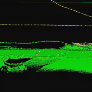
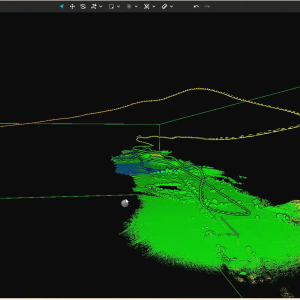
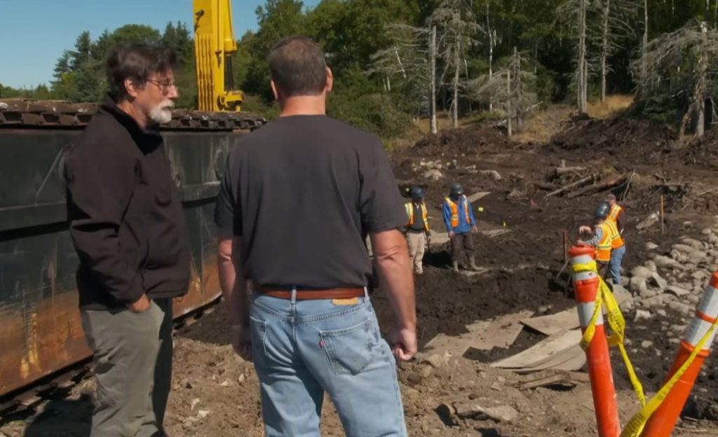
Back on the island, metal detection expert Gary Drayton and Peter Fornetti uncovered substantial wooden timbers protruding from the southeast corner of the triangle-shaped swamp. Initially thought to be the top of a shaft, archaeologist Laird Niven identified the structure as a slipway or ships’ wharf.
The structure, held together by iron fasteners, suggests a sophisticated landing site where heavy cargo could be unloaded from ships and transported inland. The proximity of this feature to the “Money Pit” suggests a direct logistical connection between the swamp and the treasure vault.
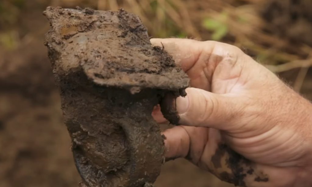
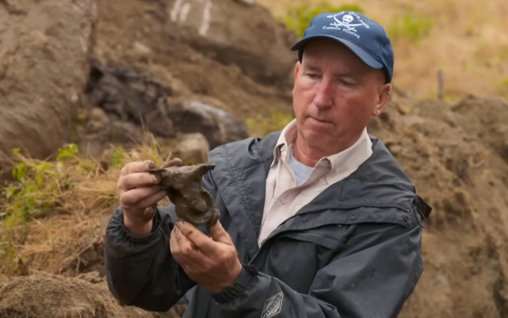
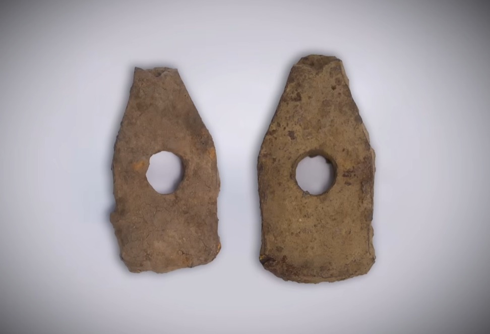
The “Caster” and Tunneling Evidence The excavation of a possible “cellar feature” near the swamp’s eastern border yielded another critical artifact: a heavy caster wheel. Gary Drayton posited that the wheel was part of a tunneling car or trolley used to move excavated dirt through subterranean passages.
his find aligns with the 15th-century tunneling tools (swages) found previously on Lot 21, suggesting that a large-scale mining operation occurred on the island long before modern searchers arrived. Correcting the Map: “The Hole Under the Hatch” In a dramatic turn of events in the Oak Island War Room, mechanical engineer Matt Sandt presented a new analysis of the 14th-century Zena Halpern map. Sandt identified a significant translation and “leader line” error in the English version of the map that has misled the team for years.
The original French text, “le trou sous la trappe,” was previously split into two separate clues: “The Hatch” and “The Hole Under.” Sandt proved that the squiggle-led lines point to a single label: “The Hole Under the Hatch.” This refined target shifts the search to a specific wooded area on Lot 4.
Convergence at the Swamp The team also discovered charcoal and burnt wood on the massive stone pathways in the swamp, providing physical evidence for the “burned ship” theory popularized by the late Fred Nolan. As Rick Lagina and Dr.
Aaron Taylor investigated the “cribbing” layers beneath the stone road, the presence of coal—which typically wouldn’t appear on the island until the 1860s—suggests a “burn event” of a pre-searcher vessel.
“We are just left with more questions,” noted researcher Scott Barlow, “but they are becoming bigger, more directed questions.” With the correction of the Halpern map and the physical evidence of a slipway, the team is now preparing for a major excavation on Lot 4 to locate the “hole under the hatch.”